The evolution of the use of maps for commercial purposes
To explore the evolution of the use of maps for commercial purposes is to embark on a journey that spans centuries, from the first hand-drawn maps to the sophisticated geolocation and data analysis tools that we use today.
Just as navigation tools evolved to meet the needs of the digital age, commercial maps transformed from simple geographical representations into essential tools for business decision-making.
This article examines how maps, inspired by historic advances in technology and industrialization, emerged as solutions to business consistency, development, and innovation challenges.
Over the years, they have enabled companies across industries to better understand their markets, optimize operations, and connect with customers in more meaningful ways.
The origins of commercial maps
Ancient maps and primitive trade
Since ancient times, maps have been vital tools for human survival and expansion.
Civilizations such as the Phoenicians, Egyptians, and Romans used maps to navigate, establish trade routes, and explore new lands.
Although rudimentary, these early maps allowed merchants to identify safer and more efficient routes, connecting distant cultures and economies.

The Age of Discovery and Commercial Expansion
In the 15th and 16th centuries, during the Age of Discovery, maps became even more crucial.
Explorers such as Christopher Columbus and Vasco da Gama relied on maritime maps to discover new trade routes to the Indies and the Americas.
These explorations not only expanded geographical knowledge of the world, but also opened up new business opportunities, boosting the economic growth of European nations.

The cartographic revolution and the industrial era
Press and dissemination of cartographic knowledge
Johannes Gutenberg's invention of the printing press in the 15th century revolutionized the production of maps.
The ability to reproduce maps on a large scale allowed geographical information to be disseminated more widely, making it accessible to merchants, navigators, and academics.
This democratized geographical knowledge and accelerated the development of more accurate and detailed maps.
Industrialization and the need for detailed maps
With the Industrial Revolution in the 18th century, the need for accurate maps increased.
The construction of railways, roads, and canals required detailed topographic surveys.
Maps have become essential tools for engineers and urban planners, facilitating industrial and commercial expansion.
The Twentieth Century: Maps as Strategic Business Tools
Maps in marketing and retail
At the beginning of the 20th century, companies started using maps to better understand their markets.
Demographic maps allowed retailers to identify areas with the highest sales potential.
With the development of market research techniques, maps became instruments for market segmentation and store location planning.
Logistics and supply chain management
Globalization and the growth of international trade have increased the complexity of supply chains.
Maps were essential to optimize transportation routes, reduce costs, and improve logistics efficiency.
Companies such as fast delivery revolutionized the use of advanced mapping systems for routing and tracking.
Real estate sector and urban development
In the real estate sector, maps were essential for evaluating properties, planning developments, and predicting market trends.
Mapping tools allowed developers to identify growing areas, analyze competition, and make informed investment decisions.
The digital age: interactive maps and geomarketing
Geographic Information Systems (GIS)
With the advent of computers, Geographic Information Systems transformed the way in which spatial data is collected, analyzed, and used.
Companies were able to integrate demographic, economic, and behavioral data into digital maps, allowing for deeper analysis and more effective strategies.
Internet and online maps
The popularization of the internet at the end of the 20th century and the beginning of the 21st brought interactive maps available to everyone.
Services like Google Maps not only made it easier for individuals to navigate, but they also provided companies with powerful tools for location analysis, route planning, and targeted advertising.
Geomarketing and the fragmentation of markets
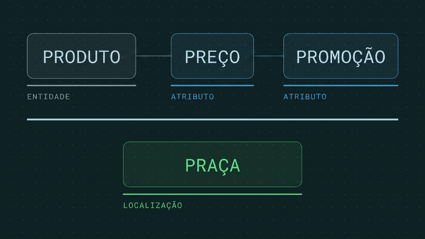
Geomarketing has emerged as a discipline that combines marketing and geolocation.
Companies started using location data to personalize offers, understand buying behaviors, and improve customer experience.
Location-based advertising campaigns allowed for deeper engagement and higher conversion rates.
Maps in the 21st Century: Big Data and Artificial Intelligence
Geospatial data analysis
The growing volume of available data has led to the development of advanced geospatial analyses.
Companies can now cross-reference location information with data from social networks, traffic patterns, and even weather conditions to make decisions in real time.
Artificial Intelligence and forecasts
The integration of AI with mapping systems allows predictions of market trends, consumer behavior, and operational risks.
Predictive tools help companies anticipate demands, optimize inventories, and improve customer service.
Augmented reality and immersive experiences
Augmented reality (AR) technologies are redefining the way we interact with maps.
Applications that superimpose digital information on the real world offer new possibilities for location-based decisions.

The future of maps in the business world
Global connectivity and IoT
With the expansion of the Internet of Things (IoT), connected devices provide a constant flow of location data.
This allows companies to simulate interference scenarios and learn the consequences before taking action.
The demand for continuous information on a global scale emerges.
ESG-Geo
Maps play a crucial role in promoting sustainability.
Companies will expand the mapping of their environmental and social impacts to plan sustainable practices.

Data security and privacy
As commercial maps increasingly rely on personal data, privacy issues become central.
Synthetic data, which represent real information but preserve individual characteristics, emerge as an alternative for model training and scenario simulations.